The Government has proposed changes to the low slope map in the Resource Management (Stock Exclusion) Regulations 2020 (Stock Exclusion Regulations). These regulations form part of the Government’s Essential Freshwater reforms, which are intended to achieve the following objectives: halt further degradation of waterways; make material improvement in the health of waterways within five years; and restore degraded waterways within a generation. The Essential Freshwater reforms also include the following elements:
- A new plan-making process under the Resource Management Act 1991 (RMA)
- National Policy Statement for Freshwater Management 2020 (NPSFM)
- Resource Management (National Environmental Standards for Freshwater) Regulations 2020
- Jobs for Nature funding support towards improving the health of waterways.
- Proposed regulations for freshwater farm plans (consultation is currently open)
A Discussion Document on the proposed changes to the Stock Exclusion Regulations can be found here: Stock exclusion regulations: Proposed changes to the low slope map: Discussion document | Ministry for the Environment.
Background
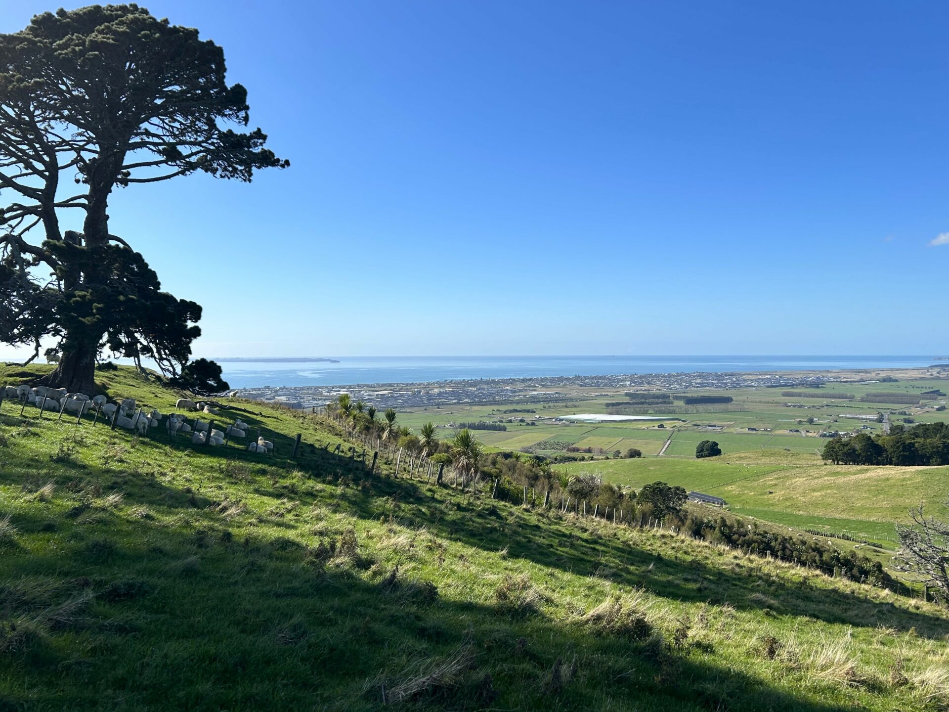
The Stock Exclusion Regulations incorporate a map identifying low slope land, which is any land parcel in New Zealand with an average slope of 10 degrees or less. Under the Stock Exclusion Regulations, beef cattle and deer on low slope land must be excluded from lakes and wide rivers (except when crossing) and beef cattle must only cross these waterbodies using a dedicated bridge or culvert (unless actively driven across under supervised and no more than twice a month). All stock (beef cattle, dairy cattle, dairy support cattle, deer or pigs) on low slope land must also be excluded from any natural wetland that is 0.05 hectares or more.
Proposed changes
Since the Stock Exclusion Regulations were introduced, stakeholders have raised concerns around the low slope map capturing many areas of high slope land, and extensive farming operations in the high country. It also appears that the map does not capture all areas of low slope land. The Government proposes amending the low slope map in the following ways:
- Using a more advanced mapping methodology called “local terrain averaging”, which addresses issues associated with averaging slope across land parcels.
- Applying the new low slope map to areas with an average slope up to 5 degrees, rather than 10 degrees, and managing areas with an average slope between 5 and 10 degrees through freshwater farm plans.
- Introducing a 500m altitude threshold so that land above 500m is managed through freshwater farm plans.
- Removing tall tussock and depleted grassland areas from the low slope map, as these areas are unlikely to be highly stocked and can be managed through freshwater farm plans.
Overall, this will reduce the area captured by the low slope map from 8.2 million hectares to 5.2 million hectares. The revised low slope map can be found here: Stock Exclusion Map Viewer (arcgis.com).
Submissions
Submissions are being accepted between 26 July and 12 September 2021.
Consultation is also open for the Government’s proposed regulations for freshwater farm plans, and the Government will also soon ask for feedback on changes to the intensive winter grazing rules.
You may also like ...
Employment Law for Kiwifruit Growers

Bay of Plenty Young Grower of the Year Awards